Comprehensive Field Dossier • Vol. XXVI

The Master Topography of Norway: Coastal Fjordlands to Arctic Peaks

From the maritime cultural architecture of Oslo Fjord to the jagged granite sea-walls of Lofoten, explore Norway’s primary scenic regions through an exacting editorial lens.


Traveling through Norway demands an understanding of scale, hydrography, and maritime climate. Between the temperate rain forests of Western Norway and the sub-zero plateaus of the Arctic Circle, the country presents distinct geographical sectors linked by legendary scenic highways, passenger ferries, and historical trade routes.

Our curated dossier examines five core destinations that define Norway’s international standing: the museum-rich metropolitan waterfront of Oslo, the Hanseatic wharf and fjord gateway of Bergen, the UNESCO-inscribed precipices of Geirangerfjord, the dramatic cod-fishing archipelago of Lofoten, and the high-latitude aurora hub of Tromsø.

Editorial Framework

Each regional guide provides geographical context, seasonal transit notes, topographic characteristics, and realistic itinerary allocations calculated for thoughtful independent travel.

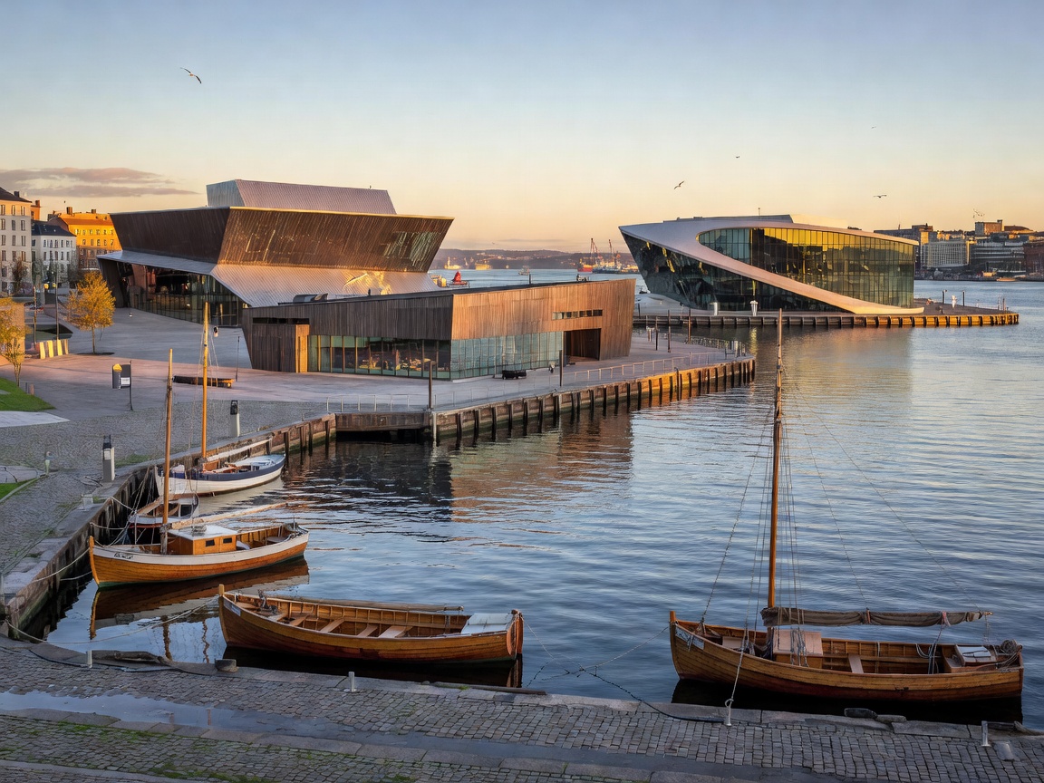
Oslo waterfront museum district at the harbor edge Capital • Architecture

Oslo: Waterfront Heritage, Art & Urban Parks

An architectural evolution along the Oslofjord, featuring world-class collections at the Munch Museum, the National Museum, Vigeland Park, and contemporary harbor developments.

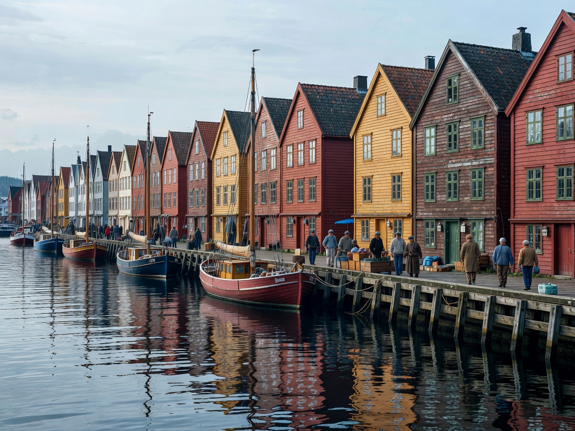
Bergen historic Bryggen wooden wharves along the harbor Western Fjords Gateway

Bergen: Bryggen Wharf & Fjordland Threshold

Framed by seven mountains, Norway's historical mercantile capital provides seamless connectivity to Hardangerfjord and Sognefjord, grounded in medieval timber trade roots.

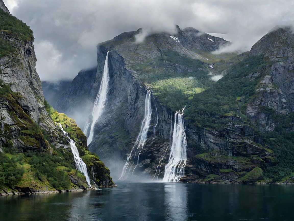
Dramatic cliffs and waterfalls of Geirangerfjord UNESCO Heritage

Geirangerfjord: Glacial Inlets & Scenic Passes

Plunging vertical rock faces, cascading waterfalls like the Seven Sisters, and hair-pin engineering feats across Ørnevegen and Trollstigen define this iconic glacial rift.

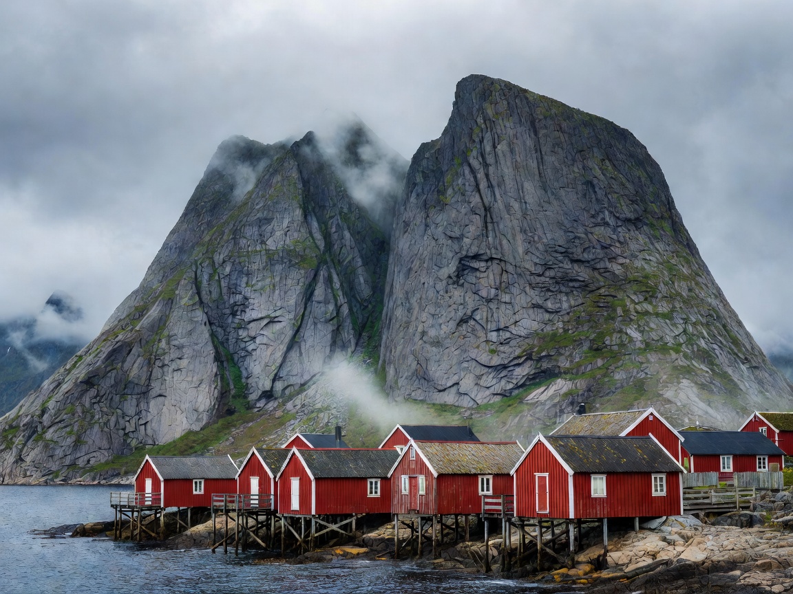
Red rorbuer fishing cabins below steep Lofoten granite mountains Nordland Archipelago

Lofoten: Rorbuer Cabins & Arctic Alpine Ridges

Rising abruptly from the Norwegian Sea, this Arctic archipelago juxtaposes centuries-old skrei fisheries with turquoise bays, craggy ridges, and coastal highways.

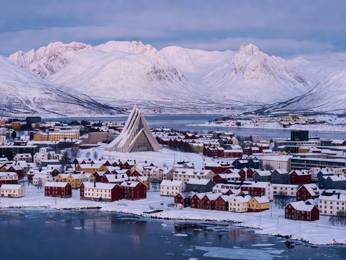
Cityscape of Tromso with Arctic Cathedral against snowy mountains High Latitude Frontier

Tromsø: Polar Science & Northern Lights

Positioned at 69 degrees north, Tromsø anchors scientific polar research, winter aurora tracking, and maritime expedition history surrounded by snow-covered peaks.

Understanding the Norwegian Landscape: Geology & Transit

The contemporary geography of Norway was sculpted by recurrent glaciations across the Quaternary period. As ice sheets miles thick retreated, they deepened pre-existing river gorges into sheer submarine troughs, creating the fjord corridors that today allow oceangoing vessels to penetrate deep into continental Scandinavia.

Traversing these territories requires navigating an interplay between national highways (such as the E6 arterial and designated National Scenic Routes) and Norway’s extensive public ferry network. Rather than seeing ferry crossings as delays, seasoned travelers understand them as integral navigational chapters that reveal perspectives inaccessible from paved highways alone.

From the tidal currents of Saltstraumen to the quiet reaches of Nærøyfjord, environmental preservation is governed by the national legal doctrine of Allemannsretten (the outdoor access right), which grants the public the freedom to roam responsibly across uncultivated land, provided natural habitats and local communities are preserved intact.